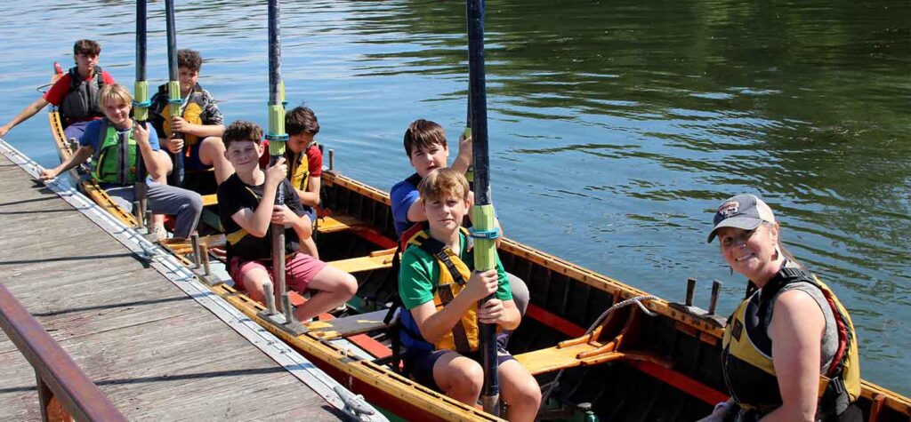
Thank you for your interest in Lake Champlain Maritime Museum’s asynchronous professional learning module. This course is intended to increase your confidence in taking your students outside to field sites within the Lake Champlain Watershed and provide you with ideas and resources to connect these field experiences with broader parts of your curriculum.
The module is comprised of three parts and includes a mix of readings and short writing prompts. Once completed, this course is worth 8 hours of Professional Learning credit. There is a link at the bottom of the page that you can click to attest that you have completed the course in order to receive a certificate to demonstrate your professional learning.
If you have any questions or concerns regarding the course, please reach out to education@lcmm.org.
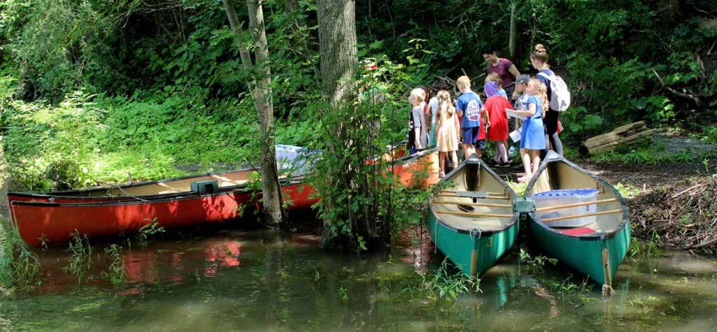
What is a Meaning Watershed Experience (MWEE) and How to Implement One
Introduction:
MWEEs are a great way to get students engaged in learning about environmental science. By taking students out to field sites, giving opportunities for hands-on learning, and pushing students to think about environmental issues, teachers can give them an opportunity to connect more deeply with important materials.
Readings:
- K-12 Environmental Education: Guidelines for Excellence: Read the introduction and the grade-level section that is most relevant to you.
- NOAA’s Meaningful Watershed Experience Guide: This guide from the National Oceanic and Atmospheric Administration details the essential elements of MWEEs and guidelines to successfully implement them.
Synthesis:
Write down a short plan detailing how you could incorporate a MWEE into your current curriculum. What would students do outdoors and where would you have them take part in a field experience? What are some of the logistical challenges you would face in doing this?
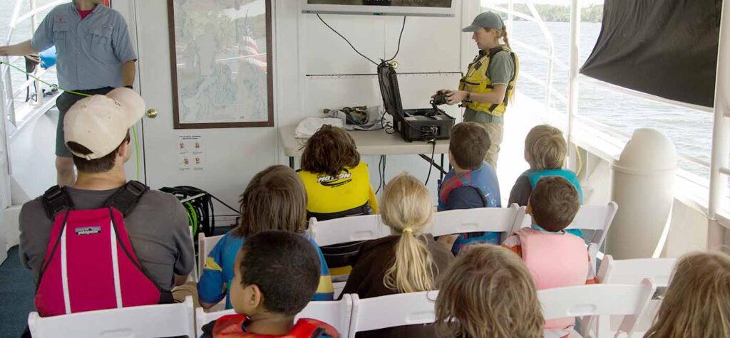
Using Technology to Explore and Learn About the Watershed
Introduction:
New technology has created a variety of opportunities for teachers. We can now take students anywhere in the world with virtual field trips, connect them with content experts through video calls, and demonstrate complicated concepts with digital models. While it might seem incongruous to teach students about the environment and engage them in learning about the watershed using a computer, there are a variety of resources available that make this possible. As you read the following selections and explore digital resources, consider the range of possibilities digital resources provide.
Readings:
- Zoom A Scientist: Watershed Science 101 Watch this short video from Sea Grant. While this one is focused specifically on watershed science, there are a variety of similar videos that you can use to conduct digital “interviews” with experts. There is a collection related specifically to Lake Champlain created by Lake Champlain Basin Program called Meet the Scientist and this resource from Ice Drilling Program has some great climate related “virtual field labs.”
- Using ROV to Engage with Youth Education with the Environment: Read this article about remote operated vehicles and consider the wider application of drones and ROVs within education.
Synthesis:
Explore the digital resources linked below. Choose one that you think you could incorporate into your curriculum then write a 3-5 sentence summary explaining how you would use it and why it would be a good fit.
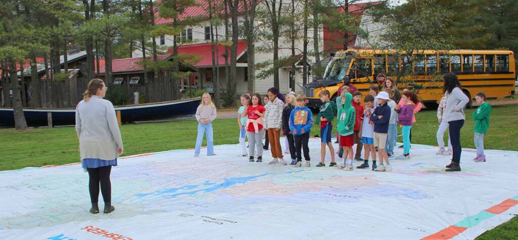
Using Maps and Data to Learn about the Watershed
Introduction:
Maps can be an excellent way to help your students understand the relationship between their homes and school and the wider watershed. Additionally, understanding their location and the relevance of material to their local landscape can increase engagement from students. Read the resources below and consider if maps still important in education in our increasingly digital world.
Readings:
- The Importance of Spatial Thinking Now: Read this article from the Harvard Business Review.
- NOAA Data for Educators: Read the short overview, then choose one of the collections of data resources to explore in-depth.
- ARCGIS The Power of Maps: Explore this interactive module to see how data can be used and applied to maps.
- LCBP Interactive Map: Explore this interactive atlas from the Lake Champlain Basin Program. Which categories of data would be the best fit for you to use in your classroom?
Synthesis:
Consider the different tools you’ve learned about to teach about watershed science. MWEEs can immerse your students in the watershed, technology can demonstrate complicated concepts, and maps can help students form connections between material and its relevance to them. As a conclusion to this module, create a lesson plan that utilizes at least one of these resources or strategies.
Resources for Teachers Within the Lake Champlain Watershed
There are a variety of organizations throughout the watershed that would love to help you enrich your environmental science curriculum and get your students out and experiencing the watershed. Check out the links below if you’re interested in learning more.
- Lake Champlain Maritime Museum
- Lake Champlain Basin Program
- Sea Grant: Lake Champlain
- Shelburne Farms
- Community Sailing Center: Lake Champlain
- Vermont Fish & Wildlife
- ECHO Leahy Center for Lake Champlain
- The Wild Center
Certification
Click the link below to attest that you have completed this course and receive a certificate to show your hours of professional learning. Once completed, this course is worth 8 hours of Professional Learning credit. If you have any questions or concerns regarding certification, please reach out to education@lcmm.org.
